Kamran Faqir is a volunteer investigative journalist and writer committed to exposing hidden truths and amplifying underreported stories. Driven by social justice, he brings sharp insight and fearless truth-telling to independent journalism. NUJ registered.
Article Date Published:
Article Date Modified:
10 minutes
Views:269
Listen to this article
Help support our mission, donate today and be the change. Every contribution goes directly toward driving real impact for the cause we believe in.
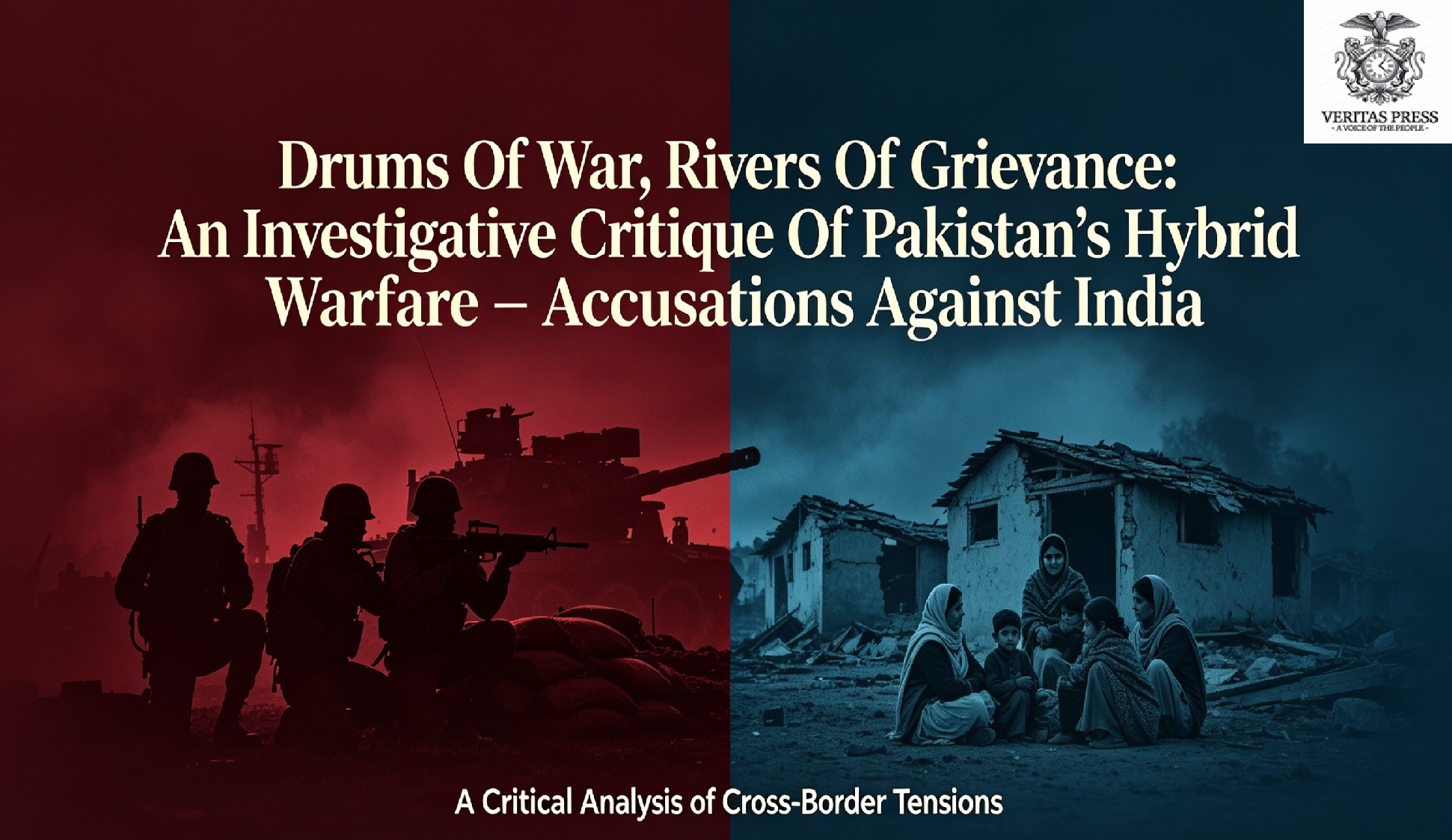
India calls for Kashmir and Ladakh to appear only on its official map after a UN cartography vote, prompting Pakistan to warn that “unilateral claims of sovereignty have no bearing” on the disputed territory, reigniting a legal and rhetorical battle over borders, self-determination, and the credibility of international institutions.
ISLAMABAD/NEW DELHI — In an era where geopolitical tensions are often waged with hypersonic missiles and cyberattacks, a new front has opened in the decades-old standoff between India and Pakistan: the mathematical minutiae of world maps.
Following a United Nations General Assembly vote on September 4 to adopt the “Equal Earth” cartographic projection, a resolution aimed at correcting the historical visual bias that shrinks Africa and inflates the Global North, India and Pakistan have locked horns in a diplomatic volley that exposes the deep fragility of the subcontinent’s peace. While the resolution was about continental accuracy, it has resurrected the spectral question of Kashmir’s legal geography.
The dispute erupted when the Indian Ministry of External Affairs (MEA) issued a pre-emptive warning on Sunday, stating that while India supported the new projection, it did not constitute an endorsement of any map that deviates from its “official map.” New Delhi insisted that its territory, “including Jammu and Kashmir and Ladakh,” must be depicted accordingly.
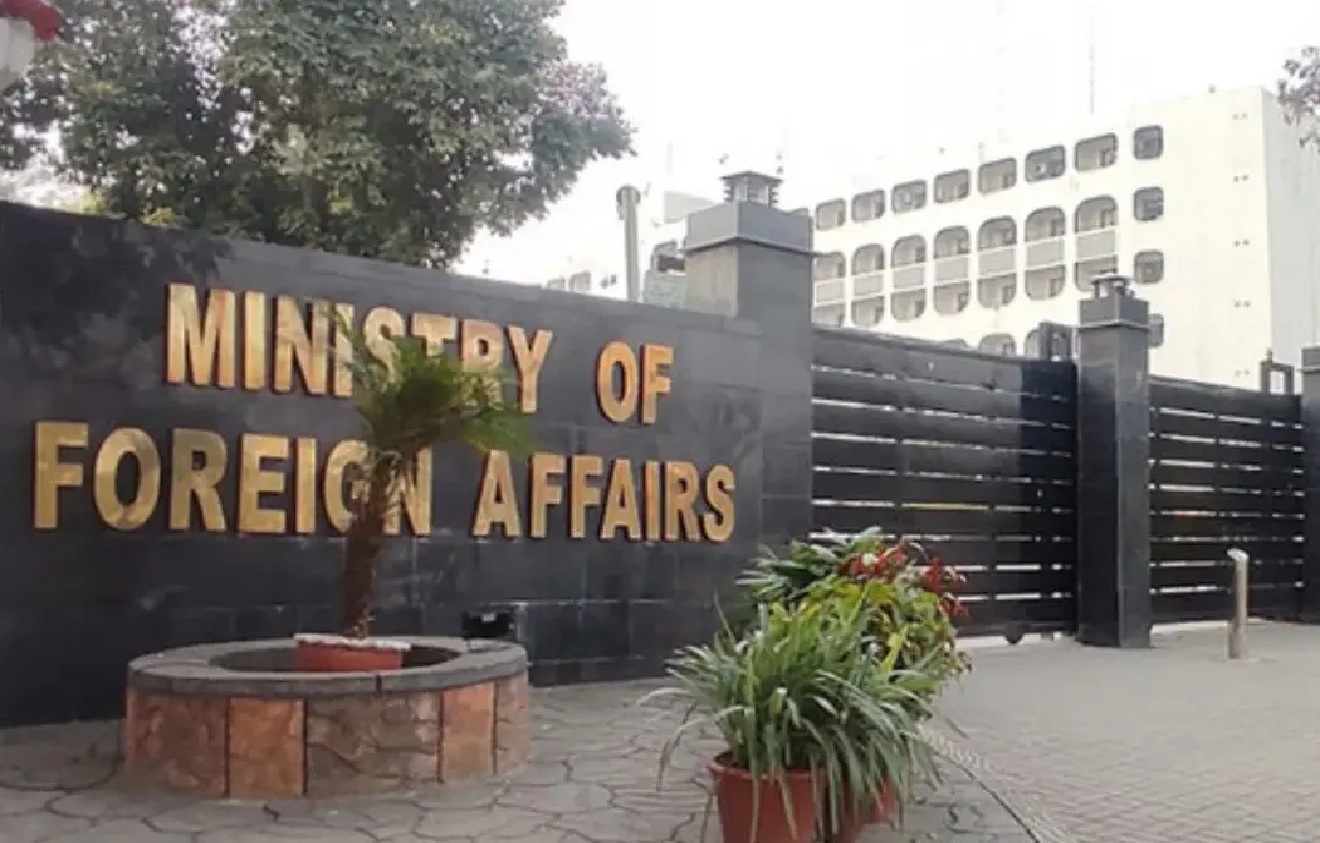
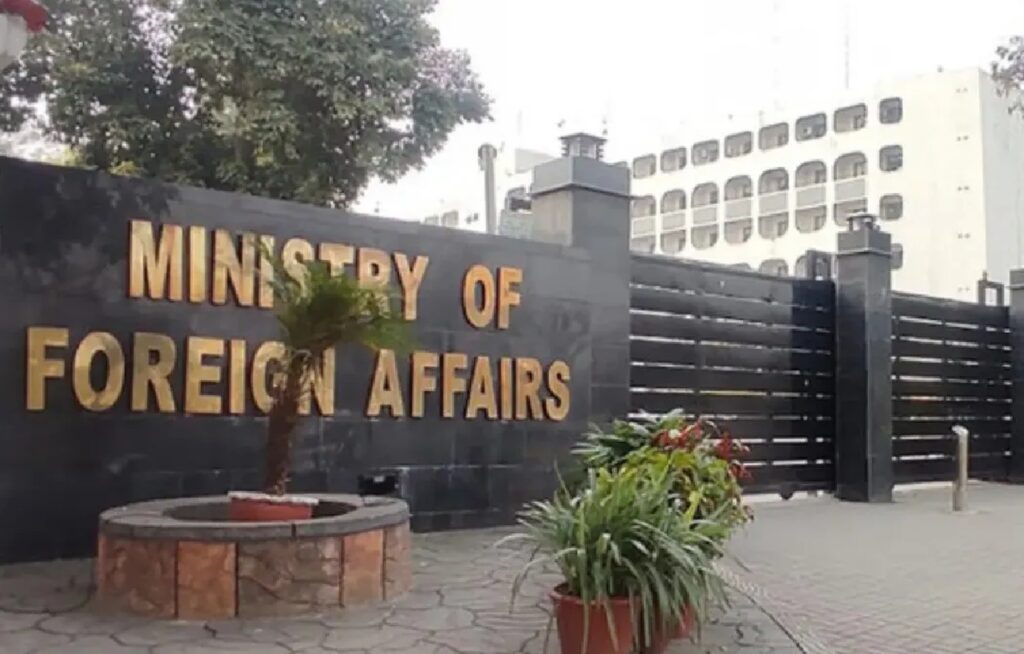
Within 24 hours, Islamabad fired back. In a strongly worded statement issued on Monday, Pakistan’s Foreign Office (FO) rejected India’s assertions as “baseless,” arguing that the UN’s cartographic standards cannot overwrite the disputed status of the territory.
The Anatomy Of A Diplomatic Clash
The exchange highlights a fundamental disconnect in how the two nuclear-armed neighbours view international law and cartography.
“The official United Nations maps, which depict Jammu and Kashmir as a disputed territory, remain the only cartographic representation of its current legal status,” said Foreign Office Spokesperson Sajjad Haider Khan. “India’s so-called official maps and unilateral claims of sovereignty have no bearing on the status of the disputed territory.”
The FO’s statement was not merely reactionary; it was a calculated legal argument. Pakistan anchored its position in the bedrock of the UN Security Council resolutions, specifically those from 1948 to 1949, which mandate a plebiscite to allow the Kashmiri people to decide their fate between India and Pakistan.
Khan emphasised that the final disposition of the region “must be made in accordance with the relevant Security Council resolutions and the will of the Kashmiri people, expressed through a free and impartial plebiscite under UN auspices.”
The “Equal Earth” Phenomenon And Geopolitical Optics
To understand the uproar, one must look at the resolution itself. Sponsored by a coalition of African nations, the “Equal Earth” projection is a modern equal-area map that accurately represents the relative sizes of continents. It is a direct challenge to the 1569 Mercator projection, which, while useful for maritime navigation, notoriously makes Europe and North America look far larger than they are relative to Africa and South America.
The United States voted against the resolution, with representatives reportedly grumbling that such moves are “the reason this institution is losing its credibility.” However, for diplomats in South Asia, the map projection debate inadvertently walked into a legal minefield.
India’s insistence that the UN adopt its “official map” of Kashmir is a part of a broader policy shift that began in August 2019, when Prime Minister Narendra Modi’s government revoked Article 370, stripping the region of its semi-autonomous status and bifurcating it into two federally administered territories: Jammu & Kashmir and Ladakh. Since then, New Delhi has aggressively lobbied global mapmakers and tech companies, including Google, Apple, and Wikipedia, to depict the region as an undisputed part of India.
Pakistan argues that this is a revisionist cartographic agenda. “India’s unilateral actions and continued illegal occupation cannot alter the internationally recognised disputed status of Jammu and Kashmir,” Khan asserted.
Voices From The Valley And The International Community
The diplomatic sparring occurs against a backdrop of intense human rights scrutiny. In his statement, the FO spokesperson urged the international community to “ensure that India immediately stops human rights violations in Indian Illegally Occupied Jammu and Kashmir (IIOJK).”
This language resonates with activists in the region. “The argument over maps might seem academic in New York or Islamabad, but for us in Kashmir, it is about identity and legality,” says Khurram Parvez, a Kashmiri human rights activist (though currently facing charges under Indian law, his previous statements to international bodies echo this sentiment). “The UN map is not just paper; it is a symbol that our future is supposed to be decided by us, not by New Delhi’s cartographic decree.”
Media analysts note that while the UN resolution was generic, India’s reaction reveals an anxiety about territorial narrative control. “India is increasingly seeing cartography as a security issue,” says Happymon Jacob, a professor of diplomacy at Jawaharlal Nehru University in New Delhi. “The government believes that if the world’s maps don’t reflect India’s official stance, it legitimises Pakistan’s claims. Hence the MEA’s aggressive policing of map boundaries.”
Escalation And The Ghost Of War
This cartographic dispute does not exist in a vacuum. It is a continuation of a highly volatile period that nearly spiralled into full-scale war less than two years ago.
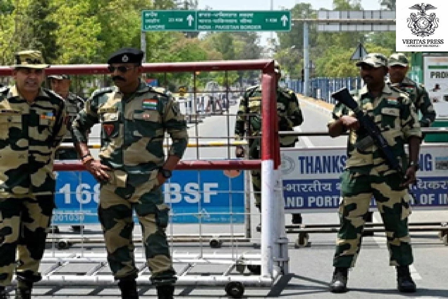
Following the deadly Pahalgam attack in April of last year, which killed 26 civilians, bilateral relations plummeted to their lowest point in decades. India revoked visas, closed borders, and suspended the Indus Waters Treaty, a move Islamabad branded an “Act Of War.” Military confrontations followed, with Pakistan claiming to have downed five Indian jets during “Operation Bunyan-un-Marsoos.”
The tenuous peace currently holding is largely credited to a ceasefire brokered by US President Donald Trump on May 10. The very next day, Trump pledged to support efforts toward a resolution of the Kashmir dispute.
However, the recent UN vote has shown that the peace is brittle. The United States’ position remains a point of friction; Pakistan had previously summoned the US chargé d’affaires in August over remarks by US Ambassador to India Sergio Gor, who called Kashmir “an important part of India.” Islamabad lodged a “strong demarche,” arguing the comments contradicted the long-standing US position that Kashmir’s status is to be determined by the will of the people.
Analysis: The Weight Of Ink And Borders
The clash over the “Equal Earth” projection is a potent reminder that international law is often executed through symbols. For Pakistan, the UN map represents the last vestige of a promise made in 1948, a promise of self-determination. To cede that cartographic representation is to cede the legal battle.
For India, the projection of “Jammu and Kashmir and Ladakh” as indivisible is a non-negotiable act of sovereign projection, reinforced by its rising economic and geopolitical clout. New Delhi argues that the 2019 reorganisation was an internal matter, a stance that has found sympathy among some global powers looking to balance against China.
Yet, the FO spokesperson’s reference to the “will of the Kashmiri people” cuts to the core of the critique levelled by international observers. “If the UN maps show it as disputed, but the ground reality is a heavily militarised zone with severe communication blackouts, the map becomes a moral indictment,” argues Ayesha Siddiqa, a Pakistani military scientist and author. “Islamabad is leveraging the cartographic dispute to remind the world that the Kashmiris have not been given the choice they were promised.”
As the UN adopts a more geographically “accurate” world, the battle over Kashmir proves that accuracy is subjective when it comes to sovereignty. The lines on the map may be shifting, but the fault lines between India and Pakistan remain entrenched, with the people of Kashmir caught in the crosshairs of a war where the weapons are resolutions, vetoes, and the ink used to draw the world.
Latest Developments & Context (As Of September 2026)
The UN Vote: The General Assembly resolution passed 164-6. The US and Israel were among the notable “No” votes. The resolution specifically champions the “Equal Earth” projection to “decolonise” the visual hierarchy of the planet. It does not legally enforce borders but sets a standard for UN publications.
Indian Cartography Laws: India has been enforcing a “Geospatial Guidelines” policy that heavily penalises international mapping companies that depict Kashmir as “disputed” or “undefined.” Pakistan has called this policy “digital occupation.”
International Scrutiny: Pakistan continues to press for a resumption of UN-led mediation, a demand India rejects, maintaining that all issues are bilateral. The recent ceasefire has held for over a year, but the diplomatic rhetoric has intensified, with Pakistan using platforms like the UN to raise the “illegal occupation” narrative.
References:
Ministry of Foreign Affairs, Pakistan, Press Release: “Pakistan rejects India’s baseless assertions on Jammu and Kashmir,” September 7, 2026.
United Nations General Assembly, Resolution on “Equal Earth Projection,” Vote Record, September 4, 2026.
Ministry of External Affairs, India, Statement on Cartographic Representation, September 6, 2026.
Reuters/AP Archives, “India-Pakistan Ceasefire and Aerial Engagements,” May 2025 – May 2026.
Statement by US State Department, “Remarks on Kashmir Status,” August 2026.
Veritas Press Investigative Analysis Independent journalism examining global affairs, power, diplomacy, and accountability.
Source:Veritas Press C.I.C. | Multi-News Agencies
APPEAL: Help Support Our Work By Donating
Readers who believe that truth still matters have power over popular information. When just a few more people step up to support this work, it means more lies exposed, more corruption uncovered, and more accountability where it’s long overdue.
Help Protect Independent Journalism, Which Is Currently Under Attack.
If you believe journalism should serve the public, not the powerful, and you’re able to help, becoming a regular DONOR or a PAID SUBSCRIBER truly makes a difference.
DONATION APPEAL: If you found this reporting valuable, please consider supporting independent journalism.
Your support fuels our fearless, truth-driven journalism. In unity, we endeavour to amplify marginalised voices and champion justice, irrespective of geographical location. We operate independently, with no financial backing from billionaires; our readers support us.
But it’s also extremely important. One of Veritas Press’s greatest assets is its reader-funded model.
1. Reader funding means we can cover what we like. We’re not beholden to the political whims of a billionaire owner. We are a small, independent and impartial organisation. No one can tell us what not to say or what not to report.
2. Reader funding means we don’t have to chase clicks and traffic. We’re not desperately seeking your attention for its own sake; we pursue the stories that our editorial team deems important and believes are worthy of your time.
3. Reader Funding: enables us to keep our website and other social media channels open, allowing as many people as possible to access quality journalism from around the world, particularly those in places where the free press is under threat.
We know not everyone can afford to pay for news, but if you’ve been meaning to support us, now’s the time.
Your donation goes a long way. It helps us:
Keep the lights on and sustain our day-to-day operations
Hire new, talented, independent reporters
Launch real-time live debates, community-focused shows, and on-the-ground reporting
Cover the issues that matter most to our communities, in real time, with depth and integrity
Without your support, independent voices like ours will be silenced.
Furthermore, we have plans to expand our work, but we can’t do it without your support. Every contribution, no matter the size, helps us stay independent and build a truly people-powered media platform.
If you believe in journalism that informs, empowers, and reflects the communities we serve, please donate today.
SEATTLE, TEHRAN — The U.S. Department of Homeland Security (DHS) will allow Iran’s national football team to enter the country 48 hours before their critical World Cup match against Egypt on Friday, a modest concession in a tournament where Team Melli’s travel conditions have sparked claims of oppression and competitive disadvantage.